BOZEMAN, Mont. – The Gallatin Valley is dynamic. Rich, fertile soils with fresh waters running through keep our rich agricultural legacy going strong. Yet, the mountains surrounding these open areas are what define Bozeman. A rugged playground for adventurers of all ages and abilities — a place of respite from modern world rigors. Visitors come from around the globe to explore these mountains, taking home unforgettable memories of challenging terrain, spectacular vistas, and the sense of wonder and accomplishment that comes with each adventure.
Some of these ranges begin on the edge of town, others are a short drive but take you deep into the backcountry. All of them are special.
BRIDGER RANGE
The Bridger Range is the closest to town. You can be hiking the College M trail, or Drinking Horse trail, just across the road in only a few minutes. But that’s just the beginning. There are numerous drainages on both the south and north sides of the range, with trails leading to several peaks, including Baldy Mountain, Ross Peak, and the tallest in the range, Sacajawea Peak, coming in at 9,665”. This hike is a short 2.2 miles but is quite steep. At the top, you’ll generally see mountain goats frolicking through the rocks, not at all afraid of humans. Bridger Bowl ski area is located on the north side, and along with recently expanded beginner terrain, boasts some of the best in-bounds extreme skiing in the country. During the summer, the Bridger Ridge Run challenges the fittest of the fit with a highly technical, 20-mile race across the top of the range. In early October, one of the largest known Golden Eagle migrations takes place across the Bridgers. Generally, the Bridger Raptor Festival happens in conjunction with the raptor migration count.
GALLATIN RANGE
The Gallatin Range, named after Albert Gallatin, the longest-serving Secretary of the Treasury, is 75 miles long and averages 20 miles wide. It extends from Bozeman, MT to Mount Holmes, WY, with the southern peaks landing in Yellowstone National Park. Wildlife in this range is similar to what you will find in Yellowstone, including grizzly bears, wolves, and wolverines. This part of the range has a robust Bear Management Area and is closed half of the year to keep the bears’ pressure off and keep humans safe. Electric Peak, the tallest peak is 10,969” and is best hiked on a multi-day excursion; walk into base camp one day, bag the peak the next, and hike out on the third. If you’re exploring this area, be sure to check out the Gallatin Petrified Forest, located north of Yellowstone National Park in the Tom Miner Basin.
Other popular hikes are Sepulcher Mountain, a long 10-12 miles hike, and Blackmore and Hyalite Peaks, located in Hyalite Canyon, both reaching over 10,000” but quickly done as day hikes. Hyalite Canyon is also a favorite for rock and ice climbers and is home to the Bozeman Ice Festival each year. During the winter, backcountry and Nordic skiers find miles of terrain far from the crowds.
MADISON RANGE
Southwest of Bozeman, the Madison Range, runs for 45 miles from West Yellowstone to Bozeman, with the town of Big Sky sitting right in the middle. Lone Mountain, home to Big Sky Resort, is considered some of the biggest skiing in America with 5,850 skiable acres. From the top, you can see three states, two National Parks, and numerous mountain ranges. Hilgard Peak, the tallest at 11,316”, is one of the more challenging peaks to reach in the greater Yellowstone area—it’s not for beginners. The Lee Metcalf Wilderness sits within the Madison Range; 259,000 acres of protected land includes a significant wildlife migration path. The Spanish Peaks, a sub-range of the Madison, are some of the oldest mountains in the range, predating the rest of the mountains by 50-60 million years. You can see this part of the range right from Bozeman.
ABSAROKA RANGE
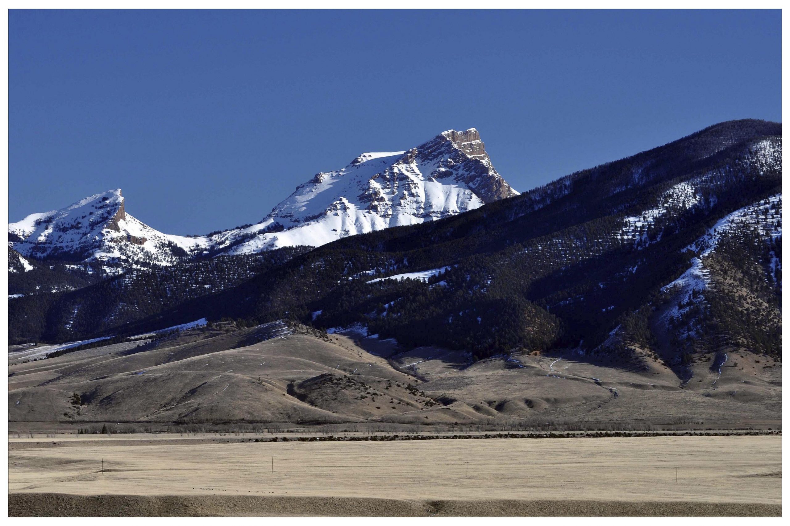
South of Livingston, the Absarokas, runs 170 miles long and is 50 miles across at their widest, crossing the Montana and Wyoming borders and forming the eastern boundary to Yellowstone National Park. This chain of mountains in Paradise Valley between Livingston and Gardiner is characterized by stratified volcanic and metamorphic rocks, forested valleys, and rugged peaks.
Eight summits exceed 12,000” including Mount Frances, the tallest peak at 13,136”. Named after the Absaroka Indians, the name is derived from the Hidatsa name for the Crow people; meaning, “children of the large-beaked bird.”


